
blah blah blah
South Moose Mountain
Length: 3.8 miles out-and-backDifficulty (click for info): Moderate
Elevation Gain: 1000 feet
Rating (click for info): 7/10
Elevation: 2293'
Prominence: 295'
Driving Directions:
Trailhead and parking area are on 3 mile road in Hanover NH. From Rt. 4, 1.1 miles east of the junction with Rt. 4A and 8.8 miles west of the junction with Rt. 118, drive north on Rudsboro Road for 3.8 miles. Turn right onto 3 Mile Road and continue 1.3 miles to an Appalachian Trail crossing, where there is parking on the left side of the road.
About the Hike:
Moose Mountain is a long ridge at the southern end of a southern extension of the White Mountains known as the Middle Connecticut River Mountains. This range contains notable summits such as Smarts Mountain and Mt. Cube, and the main ridgeline of these mountains is traversed by the Appalachian Trail. Moose Mountain is a more obscure place with rewarding scenery for less effort than the more heavily traveled peaks in the range. This hike visits the peak at the south end of its long ridge, which has a grassy clearing at the top with nice views of Goose Pond.
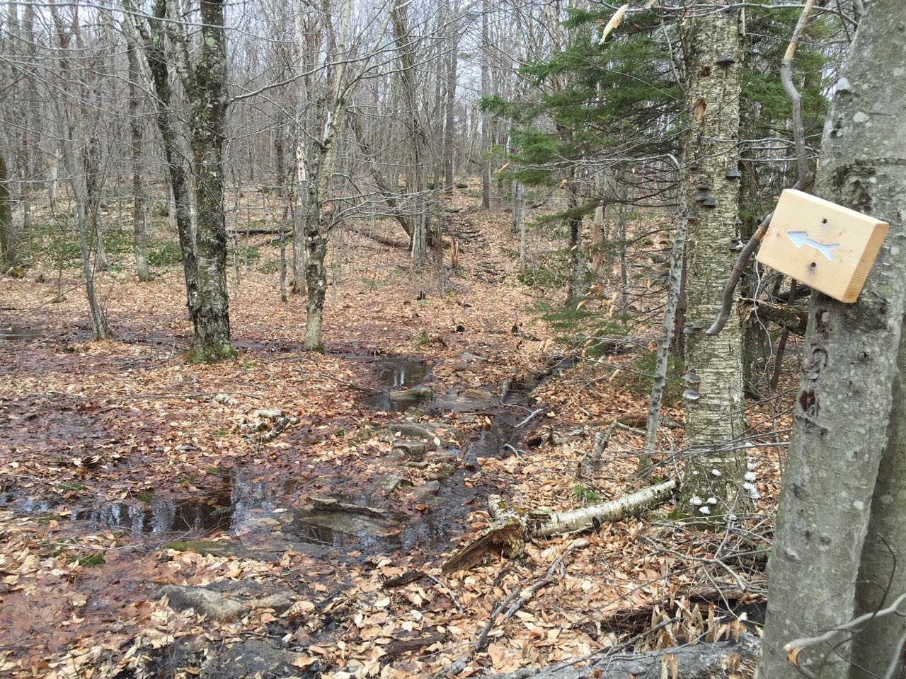
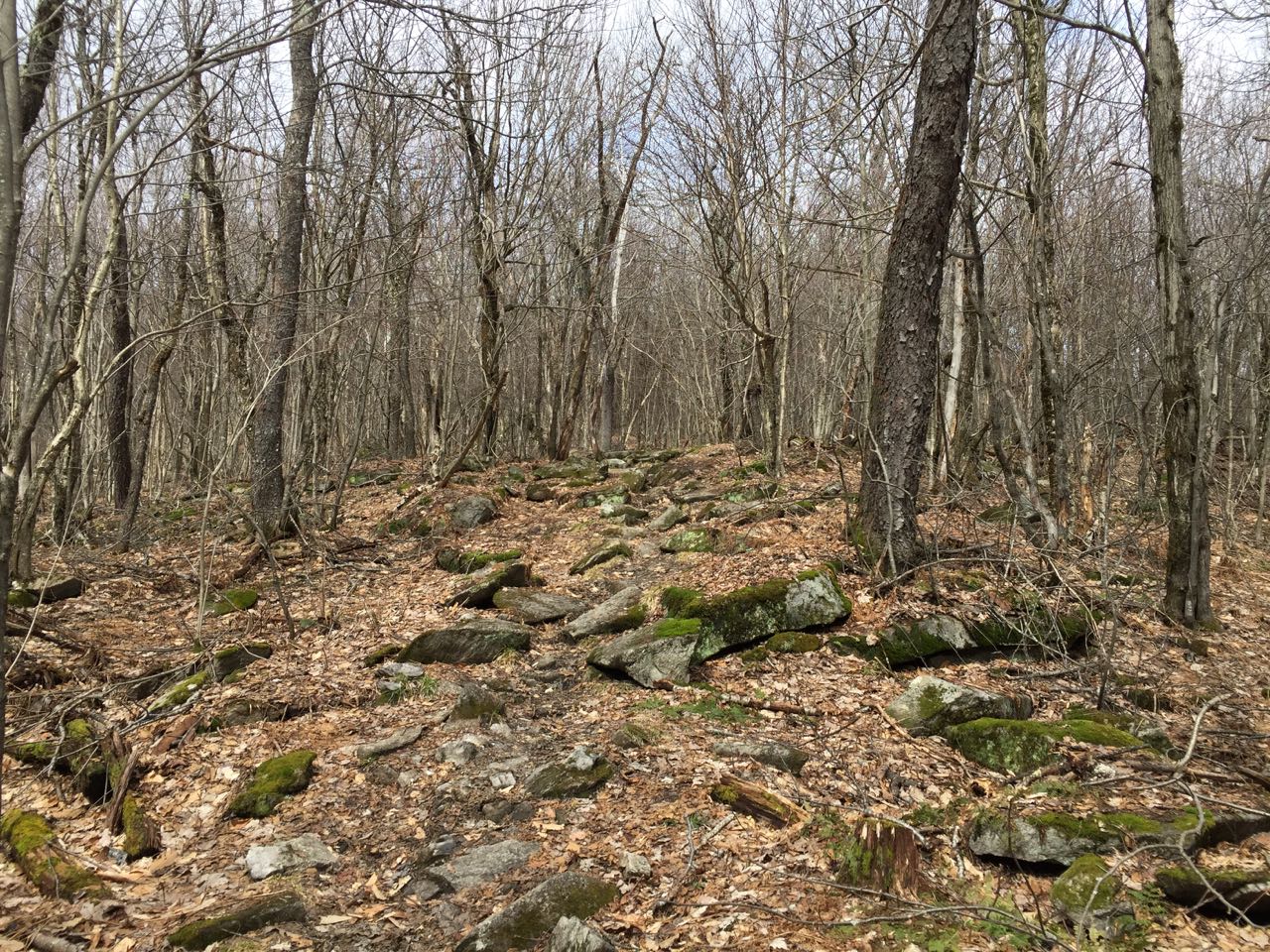
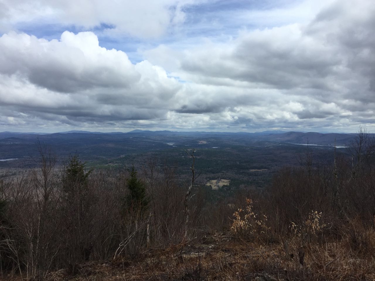
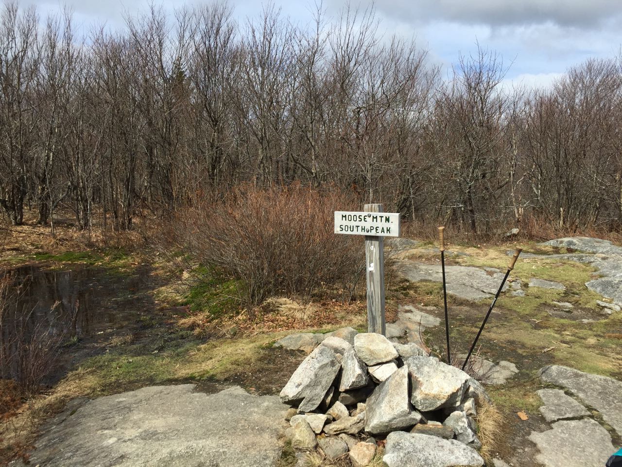
For this hike, you will follow the Appalachian Trail all the way to the summit. From the parking area, cross the road and set off on the northbound AT as it heads slightly uphill, then drops about 100 feet to cross Mink Brook on a bridge. Not far after, bear right to stay on the AT as Fred Harris Trail goes left, 0.4 miles from the trailhead. The trail continues through gentle terrain for the next 0.3 miles, before it begins to climb steeply along the north side of a ridge curving down from the summit. The grade lessens after 0.3 miles, and the trail climbs a total of 0.6 miles from the junction to reach a flat area near the top of the ridge, where an unofficial trail turns right and the AT leads across an often-muddy area on stepping stones. The trail stays closer to the top of the ridge now, as it climbs through open woods at moderate grades, with occasional rocky sections. In 0.6 miles, the trail reaches the clearing at the summit of South Moose. Trees have been cleared from the east side of the opening to keep the view open. A summit sign and cairn mark the summit as the AT continues over the ridge to North Moose Mountain, the highest point on the ridge. The grassy clearing provides an extensive view to the east, taking in the most prominent peaks south of the White Mountains. You can move around to see all different angles of the landscape. The central feature of the view is Goose Pond, an oblong body of water sprawling in front of Mt. Cardigan.
Printable directions page